
Trails and Maps
Greenspace Trail List
Trail Difficulty Key
![]()
Easy
![]()
Moderate
![]()
Hard
Trail Terrain Key
![]()
Grass
![]()
Dirt
![]()
Gravel
![]()
Creek
![]()
Paved
Banam Shaw Trail 


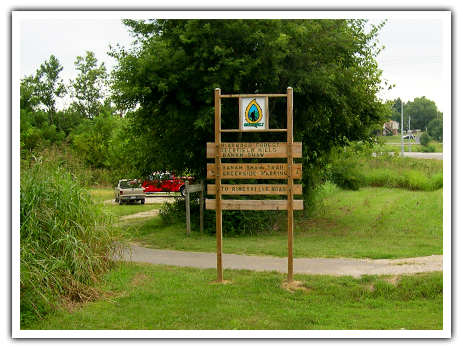
This trail starts from St. John’s road just west of the By-pass. From the parking area the trail crosses Shaw Creek and follows the creek north to Rineyville Road (1600). There is a bridge back across Shaw Creek that goes into the Deerfield Hills Subdivision. The Briarwood Trail and its connection to the Billy Creek Trail can be accessed by way of this bridge, and by walking through the subdivision.
The Banam Shaw Trail, Billy Creek Trail and Briarwood Trail all three interconnect
Billy Creek Trail 


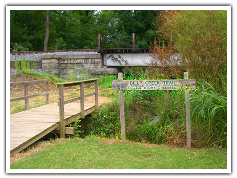
This trail starts at the far side of the Mike Carroll Soccer Complex on Peterson Drive, where Billy Creek passes under the railroad tracks. It goes north to the Elizabethtown Sports Park. From the junction with the Sports Park it will travel along Billy Creek to St. John’s Road. Due to bridge repair work (summer 2013), it is currently best to pass through the Sports Park and rejoin the trail where it passes under St. John’s Road. A parking lot will be constructed North of St. John’s Road once sewer work is complete. North Billy Trail continues North for 1/2 mile, where is connects with the Briarwood Forest Trail.
The Banam Shaw Trail, Billy Creek Trail and Briarwood Trail all three interconnect.
Briarwood Trail–1/2 mile 


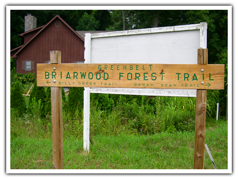
This trail is accessed on the west side of Timber Lane where Whispering Birch Court enters from the east. The trail goes up a small hill, which overlooks Etown to the south. It continues on and connects with the Billy Creek Trail.
The Banam Shaw Trail, Billy Creek Trail and Briarwood Trail all three interconnect.
Buffalo Lake Trail -8.50 miles 


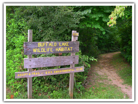
This 8.50 mile city trail circles Buffalo Lake and has been declared a Wildlife Preserve. It contains a variety of geographic features such as cliffs, rock formations, creek-side vegetation, trees of all ages, springs, gullies and flat land. In season, birds, native wildflowers, trees and shrubs can be appreciated. The trail can be accessed at several locations: two trailheads along Commerce Drive; at the end of Sutton Lane off Commerce; and at the 0.95 mile marker at the top of the dam. This last point can be accessed by walking up the Haycraft Mill and Cave Spring Trails from downtown Elizabethtown. There is an informational kiosk at the 2nd trailhead on Commerce, as well as smaller maps at other starting points. Circuit can be done as an entire 8.5 mile loop, or cut short for small loops with trail blazes: Buffalo Lake Trail (Blue-4.5 miles), Pine & Holly (Green-3.1 miles), Cave Spring Loop (White-.60 miles).
The Buffalo Lake, Cave Spring, Pine & Holly, Severns and Haycraft Trails all interconnect.
Cardinal Creek Trail 


The Cardinal Creek Trail is approximately 1.5 miles in length. The main trailhead with kiosk is located to the left of the Hardin County Government building located at 150 North Provident Way in Elizabethtown. You begin on a paved path until you reach the woods, then you will enjoy a dirt trail. This peaceful trail follows the creek and includes a bridge, many trees, some rolling hills and a water feature. This is an out and back trail with a small loop in the middle.
Cave Spring Trail .60 miles 

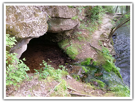
This 1/4 mile trail connects Buffalo Lake Trail Dam, Haycraft Trail and downtown Elizabethtown. Along Buffalo Creek is the historic Cave Spring from which the water supply was critical to the historic early town settlement. This spring also supplied water to the pioneer Haycraft Fort, and later to the Civil War camp, Camp Haycraft.
The Buffalo Lake, Cave Spring, Severns and Haycraft Trails all interconnect.
Elizabethtown Nature Park Trails
Creekside Loop 


The Creekside Loop Trail is a moderately strenuous .75 mile earthen path that follows the banks of Elizabethtown Creek. This trail is located within the Elizabethtown Nature Park at 1900 Ring Road in Elizabethtown. Highlights include 3 wooden bridges, many large oak trees, a patch of bamboo, and mildly rolling terrain. The Creekside Loop can be added to the Perimeter Loop to add distance and scenery, or trail users can exit the trail onto the sidewalk on Ring Road near the park entrance. The other entrance from the paved path in the Nature Park requires a creek crossing.
The Creekside Loop, Perimeter Loop and Pine Woods Loop all interconnect.
Perimeter Loop 


The Perimeter Loop covers the outer perimeter of the Elizabethtown Nature Park located at 1900 Ring Road in Elizabethtown. When combined with the Creekside Loop, this trail is approximately 3 miles long and moderately strenuous. The Perimeter Loop includes all of the highlights you’d expect from a perimeter trail: hills, large trees, open vistas, pine-covered paths, creek crossings, bridges and beautiful views.
The Creekside Loop, Perimeter Loop and Pine Woods Loop all interconnect.
Pine Woods Loop 

The Pine Woods Loop Trail is an approximately .20 mile dirt trail located within the Elizabethtown Nature Park at 1900 Ring Road in Elizabethtown. It is an integrated portion of the larger Perimeter Trail Loop. This moderately strenuous loop has gently rolling terrain that is 100% covered by the old growth tree canopy. Trail users will enjoy the pine needle covered earth with every step.
You can also access this trail directly from the upper parking park to the right of the Veteran’s Memorial Replica wall. Take the grassy trail straight back and a trail map will be on the right at the trail head.
The Creekside Loop, Perimeter Loop and Pine Woods Loop all interconnect.
Fisherman’s Park – 1/4 mile 


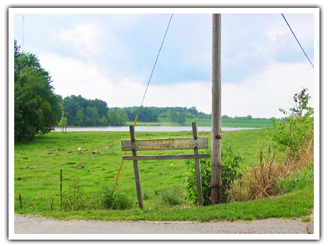
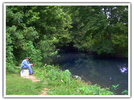
Fisherman’s Park is a city park southeast of Elizabethtown. It is accessed at the end of Valley Creek Lane which intersects with Valley Creek Road. This park runs 1/4th mile on the east side of John Severns Lake, and provides fishing opportunities for the whole family.
Future Greenspace plans include a trail along Valley Creek, connecting Fisherman’s Park to the John Severns Trail.
Freeman Lake Park– 4.7 miles 


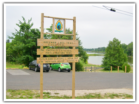
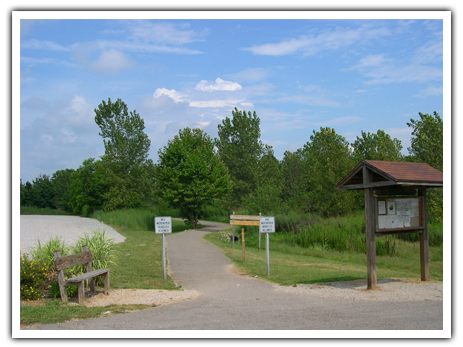
The Freeman Lake Trail is the city-owned right-of-way, which forms a circle around Freeman Lake. Trail markers identify each 0.2 mile interval. It can be accessed on the West at Mile 0 off Nalls Road, or anywhere in Freeman Lake Park. Additional accesses are at the North along Ring Rd. and on the East at the Pirtle Trail Loop on Pear Orchard Rd. Access from the South would involve walking the John Helm Trail from the Helmwood Shopping Mall.
The Freeman Lake trail is heavily used, and offers a great variety of scenery. Freeman Lake Park encompasses the western side and contains open, mowed grass. Featured are a one-room schoolhouse, and the Lincoln Heritage House that Thomas Lincoln helped to build. The North and East trail areas are mostly wooded. Items of special interest exist at all areas of the trail. Allow a minimum of one hour to traverse the entire five mile circumference.
Haycraft Mill Park 


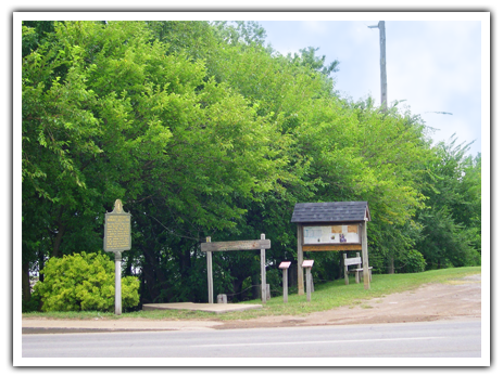
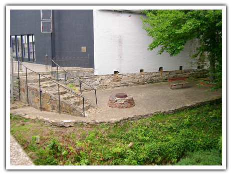
Haycraft Mill Park has a paved patio with benches. It straddles Valley Creek in downtown Elizabethtown. It is accessed by stone stairs off East Dixie Highway across from the Hardin County Justice Center. There is a small parking lot across the railroad tracks. A large millstone reminds us of the many water mills that dotted the local streams in earlier days.
The Jacob Vanmeter Trail and Arboretum, Wintersmith Trail, and Haycraft Mill Park Trails interconnect.
Haycraft Trail 3/4 mile 


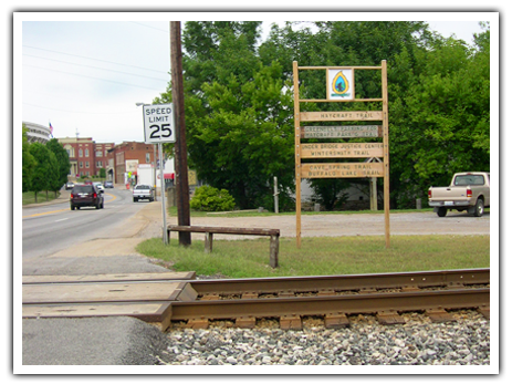
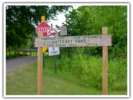
This trail follows Valley Creek generally north and south from Haycraft Mill Park. The northeast trail-head is at a small parking lot beside the CSX Railroad and Rt. 31W (Dixie Hwy.). The trail crosses Valley Creek on the John Severns Bridge. It continues north along the wooded Valley and Buffalo Creeks. It then climbs a hill to pass historic sites, and provides a view of the Buffalo Creek valley. At the 0.66 mile point, it becomes the Cave Spring Trail, which continues to a 0.9 mile marker on the top of the Buffalo Lake dam and trail.
The Buffalo Lake, Cave Spring, Severns and Haycraft Trails all interconnect.
Jacob Vanmeter Trail & Arboretum & Botanical Gardens 1/2 mile 


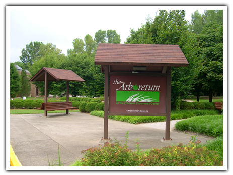
This 1/2 mile gentle walking trail is located behind the Pritchard Community Center at 404 South Mulberry Street in Elizabethtown. It runs generally from the South Mulberry Street bridge to the City By-Pass. The trail winds through the Arboretum & Botanical Gardens on gently contoured land that is maintained by Elizabethtown Parks & Recreation. An interesting variety of trees, shrubs and flowers are located here, and can be appreciated during all seasons. Picnic tables and benches are located throughout the Arboretum to enjoy this beautiful nature scene.
The Jacob Vanmeter Trail and Arboretum, Wintersmith Trail, and Haycraft Mill Park Trails interconnect.
John Helm Trail -3/4 mile 

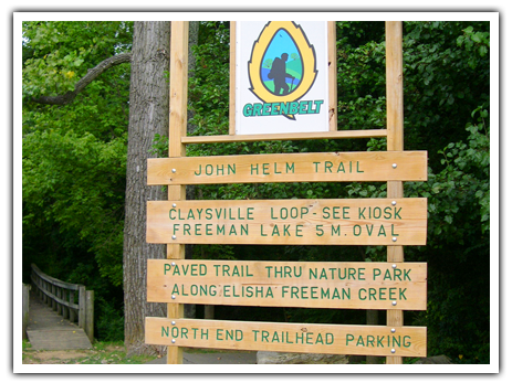
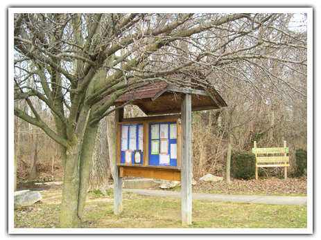
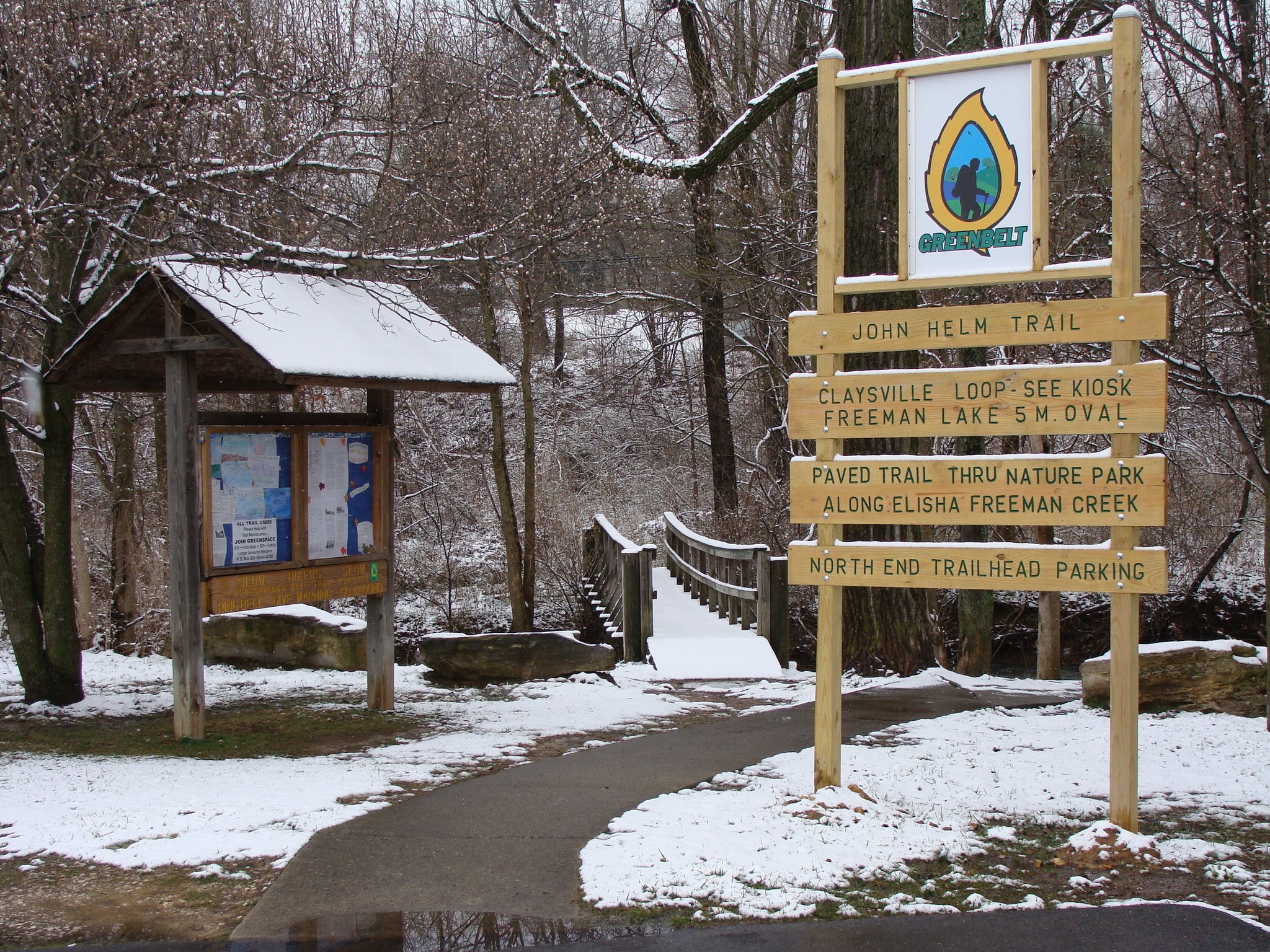
This partially-paved trail extends from the Helmwood Shopping Center on Dixie Hwy. across Diecks Drive, and on to the Water Treatment Plant and Dam at the Southern end of Freeman Lake. The paved area makes aerobic walking easier and more accessible to elderly and handicapped. Care should be taken while crossing traffic-laden Diecks Drive. Be sure to enjoy the many wildflowers planted in this area.
The Freeman Lake Trail, John Helm Trail and Pirtle Interpretive Nature Trail all interconnect.
John Severns Trail –1/2 mile 

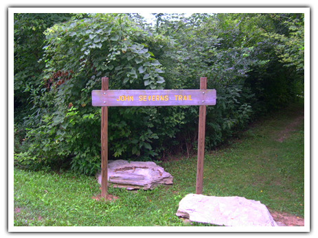
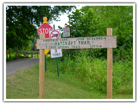
This ½ mile trail branches off the HAYCRAFT MILL PARK TRAIL, where the trail crosses Valley Creek. The Haycraft Trail follows Valley Creek north, while the John Severns Trail follows Valley Creek south.
The Buffalo Lake, Cave Spring, Severns and Haycraft Trails all interconnect.
Pine & Holly Loop 

This trail is a part of the Buffalo Lake trail system. It is approximately 3.1 miles of moderately strenuous dirt trail. On this trail you will find many different trees and vegetation. This trail may be accessed from the southern section off Commerce Drive coming from the Valley Creek area off of Springfield Drive, or from the top of the Haycraft Trail, coming from downtown Elizabethtown. It may also be done as part of the 8.5 mile circuit, where it connects with the Buffalo Lake and Cave Spring Trails.
The Buffalo Lake, Cave Spring, Pine & Holly, Severns and Haycraft Trails all interconnect.
Pirtle Interpretive Nature Trail –3/4 mile 

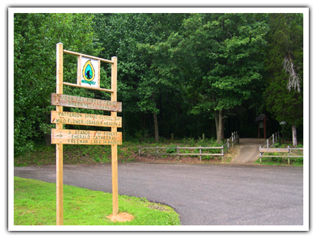
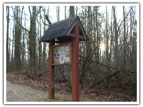
This 3/4 mile loop trail encompasses 10 acres. It is accessed by a parking lot on Pear Orchard Road, and by the Freeman Lake Trail at the Emerald Cathedral on Gen. Braddock Creek at mile marker 1.8. Along the trail are five marked stations to help make you aware and appreciate specific items. Wildflowers are particularly enjoyable in the springtime.
The Freeman Lake Trail, John Helm Trail and Pirtle Interpretive Nature Trail all interconnect.
Prairie Grass Meadow Trail–1/4 mile 

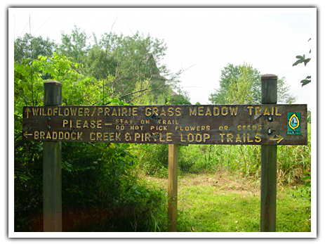
The Prairie Grass Meadow Trail can be accessed either from the Pirtle Interpretive Nature Trail, or from the Emerald Cathedral Trail Merge area. It can also be reached from the Presbyterian Church parking lot just off Pear Orchard Road. This native grass planting shows how a Kentucky Prairie might look. Wildflowers bloom in the spring along the bottom land of Braddock Creek.
Wintersmith Trail– 2/3 mile 

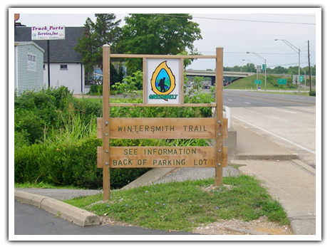
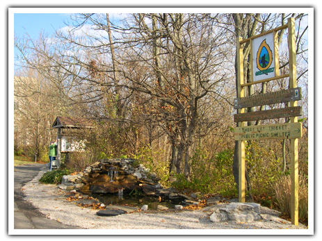
This partially paved trail starts at the Hardin County Justice Center on Dixie Hwy. and continues along Valley Creek to the South Mulberry Street bridge. Featured along the way are the Noel Patio, the Sprague Fountain and the Embry Lay Thicket. A picnic shelter has been constructed along the trail behind Dairy Queen. This popular trail is enjoyed by the employees at the Justice Center, and is host to many public events.
The Jacob Vanmeter Trail and Arboretum, Wintersmith Trail, and Haycraft Mill Park Trails interconnect.
